MIRAI Cruise MR05-05 Field Campaign
It is well known that the oceans play a central role in determining global climate. However, heat and material transports in the ocean and their temporal changes have not yet been sufficiently quantified. Therefore, the global climate change is not understood satisfactorily. The purposes of this research taken aboard the Mirai cruise MR05-05 were to evaluate heat and material transports including carbon, nutrients etc, in the North Pacific and to detect its long term changes and basin-scale biogeochemical changes since the 1990s. The observation was conducted along hydrographic section named P3, which was nominally along 24 degree north from San-Diego, U.S.A. to Okinawa, Japan.
The other objectives of the Mirai cruise MR05-05 were to observe surface meteorological and hydrogical parameters as a basic data of the meteorology and oceanography, as well as sea bottom topography, gravity and magnetic fields along cruise track to understand the dynamics of ocean plate and the accompanying geophysical activities; to contribute to establishment of data base for model validation; and the deployment and sensor calibration of the profiling float ARGO in the western Pacific. Additionally, other atmospheric and biogeochemical researches were conducted by researchers selected by the R/V MIRAI Operation Planning Committee.
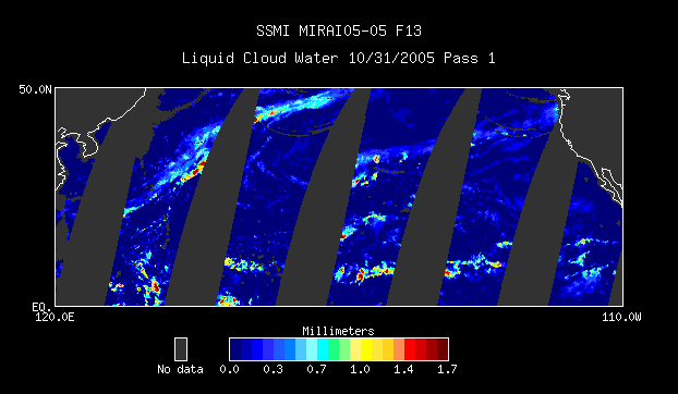
This case study presents data from 31 Oct 2005 to 20 Jan 2006 and covers a region from the equator to 50N latitude and from 120E to 110W longitude.
For more information visit the MIRAI Cruise MR05-05 Home Page.
