MIRAI Cruises MR04-07 AND MR04-08 Field Campaign
Air-sea interaction is a key factor to understand the atmospheric and oceanic phenomena over the tropical western Pacific warm pool region. Since the huge amount of latent heat released from active convections developed over the warm pool drives large-scale meridional (Hadley) and zonal (Walker) circulations, this tropical western Pacific region is often called "heat engine of the globe".
In order to study the atmospheric convective activities over the warm pool, scientific cruise by using research vessel MIRAI has been conducted since 1999. On the other hand, Institute of Observational Research for Global Change (IORGC; former Frontier Observational Research for Global Change and Ocean Observation and Research Department have been merged from July 2004) of JAMSTEC has deployed meteorological observational sites at Aimeliik and Peleliu in the Republic of Palau since 2001. In particular, two Doppler weather radar systems - one is of IORGC at Aimeliik and the other is of Nagoya University at Peleliu - had been set to observe convective clouds in November 2004. Since the dual Doppler radar obeservation that is a technique to derive three dimensional wind field by combining data obtained from two different sites can produce the fine inner structure of the clouds, the joint intensive observation of the R/V Mirai Cruises MR04-07 and MR04-08 and the land sites have been carried out around Palau islands from December 15, 2004 through January 10, 2005.
During the intensive observation period, surface meteorological measurement, atmospheric sounding by radiosonde, CTD casting, and ADCP current measurement as well as Doppler radar observation were carried out as main mission. In addition, turbulent flux measurement, Mie-scattering LIDAR, vertical-pointing cloud radar, wind profiler, SnowWhite-Ozone radiosonde, videosonde, and other many observations were intensively conducted.
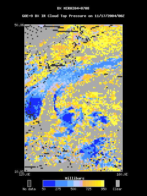
This case study presents data from 17 Nov 2004 to 19 Feb 2005 and covers a region from 10S to 50N latitude and from 120E to 160E longitude.
For more information visit the MIRAI Cruises MR04-07 and MR04-08 Home Page.
