MIRAI Cruise MR01-K05 Field Campaign
The Mirai MR01-K05 cruise has two major purposes. One is to observe physical oceanographic conditions in the western tropical Pacific Ocean for better understanding of air-sea interaction affecting on the ENSO (El Nino/Southern Oscillation) phenomena and its related climate change. The surface layer in the western tropical Pacific Ocean is characterized by high sea surface temperature, which plays major role in driving global atmospheric circulation. El Nino occurs when warm water migrates eastward, and causes short-term climate changes in the world dramatically. For example, the western Pacific area has very little rainfall when the "El Nino" occurred, as in 1997-98. This atmospheric and oceanic system is so complicated, and we still do not have enough knowledge about it.
The other purpose is to observe hydrographic conditions and its variability in the eastern tropical Indian Ocean associated with Asian Monsoon and Dipole Mode. Asian Monsoon may play an important role as a trigger of El Nino in the Pacific Ocean. Also the Indian Ocean has basin-scale interannual variability independent to ENSO mentioned as Dipole Mode variability. This climate system has various time scales. To investigate the mechanism, we need precise and detailed data for long period. Therefore, ocean and atmosphere observing mooring array is effective to obtain such data set. The major mission of this cruise is to deploy TRITON buoys developed at JAMSTEC for the long term measurements of ocean and atmosphere in the western tropical Pacific Ocean and the eastern Indian Ocean. We also deployed ADCP subsurface buoys in the Pacific and the Indian Oceans during this cruise.
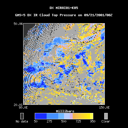
This case study presents data from 21 Sep 2001 to 18 Dec 2001 and covers a region from 20S to 50N latitude and from 80E to 150E longitude.
For more information visit the MIRAI Cruise MR01-K05 Home Page.
